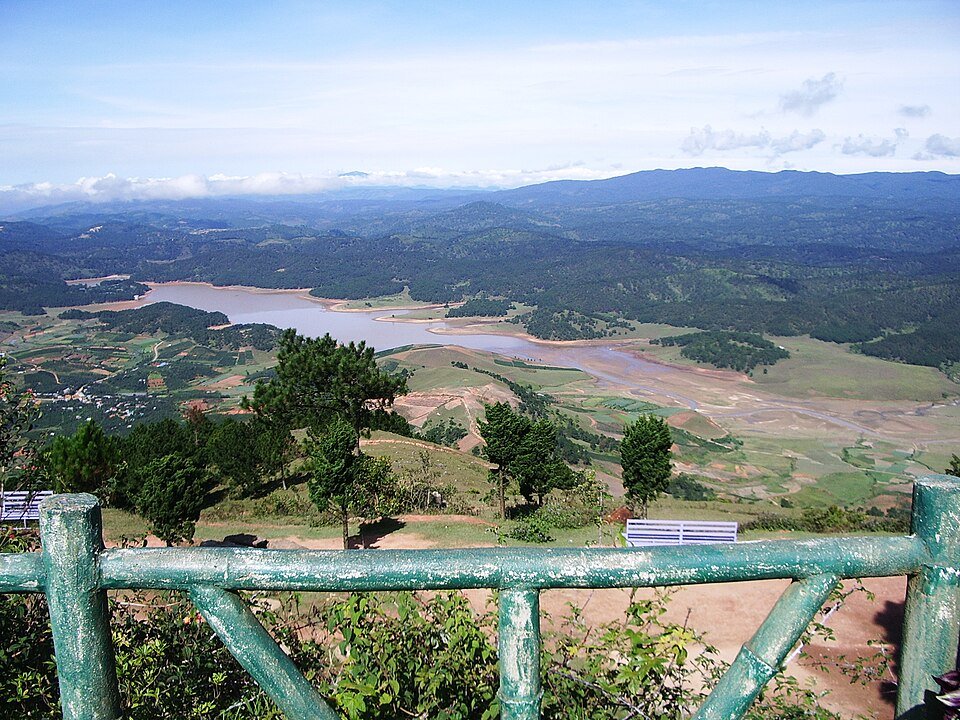
The road & its landscape
QL27C links the Da Lat highlands with the lower Khanh Vinh valley. The pass road runs through high forest and long mountain slopes before descending into warmer, more enclosed valleys.
This chapter follows QL27C to Khanh Vinh, not an unverified forest shortcut. National-park and waterfall approaches have separate access arrangements.
Scenery along the road
The highland departure begins among settled slopes before forest becomes dominant. Through Khanh Le the road follows a long descent, with alternating cut slopes, wooded bends and valley openings. The interest is the change in height and vegetation along a public-road crossing.
Da Lat highland departure
Cultivated and settled slopes gradually give way to higher forest on the approach to the pass.
Khanh Le pass slopes
Long bends and cut slopes show the road's descent through the mountain; recent damage may change the usable line.
Khanh Vinh valley
The valley becomes lower, greener and more enclosed as the road leaves the high plateau.
Road conditions & preparation
The Khanh Hoa authority notice dated 13 February 2026 allowed vehicles through only in a stated daytime window, following landslide disruption. Confirm whether that notice still applies and whether new closures exist. Do not treat QL27C as unrestricted 24-hour access.
Mountain landscapes
Photographs identify their actual location, author and licence. Viewpoints away from the riding corridor are stated in the captions; photographs are not verified ride records.
Liangu · CC BY-SA 3.0 · Thumbnail / display crop · Licence
Toni Wöhrl and Sang Cai · CC BY-SA 4.0 · Thumbnail / display crop · Licence
Liftold (thảo luận) · CC BY-SA 3.0 · Thumbnail / display crop · Licence
Sources & provenance
- Khanh Hoa construction department: QL27C timed reopening notice ↗
- Khanh Hoa police: Khanh Le pass road information ↗
Summarised from public sources. A historic tourism plan describes a corridor, not current road access. Track authors retain ownership of their files.