The road & its landscape
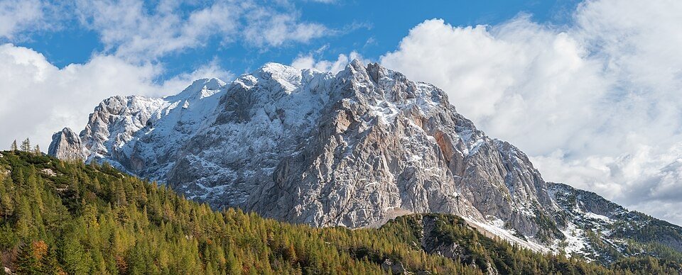
The Vršič crossing links a wooded northern climb to the pale rock and river scenery of the Soča valley.
Planning corridor: Kranjska Gora → Vršič → Trenta → Bovec.
Why ride here
The Vršič crossing links a wooded northern climb to the pale rock and river scenery of the Soča valley.
Scenery along the road
Vršič links a wooded northern climb with the pale limestone and river country of the Soča valley. Mountain walls rise above the bends, while the pass reveals the relationship between the Julian peaks. Descending through Trenta towards Bovec changes the emphasis from vertical rock to river and valley.
Kranjska Gora
Forest bends frame the ascent beneath steep limestone mountains.
Vršič
The pass opens views between the Julian peaks; some northern bends have cobbled surfaces.
Trenta valley
The descent changes to river and valley scenery; riverside walks require separate stopping time.
Roads from above
Look at the bends, road surface and landscape beside the carriageway. Each caption identifies the location; other roads in the range are marked separately.
Other roads in this range
Some photographs show other roads, visitor access or historical alignments in this mountain region. Their captions identify the difference from this chapter’s main corridor; vehicle access is not inferred from the image.
Erik Paakspuu from Tallinn, Estonia · CC BY 2.0 · Thumbnail / display crop · Licence
Erik from Laagri, Estonia · CC BY 2.0 · Thumbnail / display crop · Licence
kallerna · CC BY-SA 4.0 · Thumbnail / display crop · Licence
Road conditions & preparation
Check the road operator for snow closures and restrictions before departure.
Mountain landscapes
Photographs identify their actual location, author and licence. Viewpoints away from the riding corridor are stated in the captions; photographs are not verified ride records.
Krzysztof Golik · CC BY-SA 4.0 · Thumbnail / display crop · Licence
Pennyplain~enwiki at English Wikipedia · Public domain · Thumbnail / display crop · Licence
Aleky · CC0 · Thumbnail / display crop · Licence
Sources & provenance
Summarised from public sources. A historic tourism plan describes a corridor, not current road access. Track authors retain ownership of their files.