The road & its landscape
The Tena valley approach follows reservoirs and mountain villages towards the French border.
Planning corridor: Biescas → Sallent de Gállego → Formigal → Portalet · A136.
Why ride here
The Tena valley approach follows reservoirs and mountain villages towards the French border.
Scenery along the road
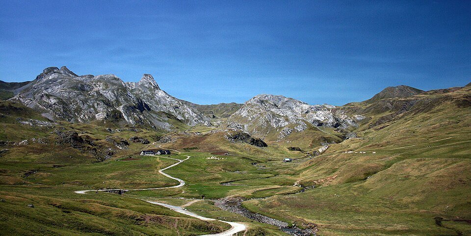
The Tena valley approach climbs from Biescas towards the more enclosed mountain scenery around Sallent and Formigal. Reservoir foregrounds and steep rock slopes give the middle section depth. Near Portalet, forest yields to high pasture and the watershed opens ahead; village detours should be planned separately.
Biescas
The lower valley combines settlements with forested mountain sides.
Sallent de Gállego
Reservoir water and steep rock backdrops add depth to the middle valley; village visits are short detours.
Portalet
Upper pasture replaces woodland near the border crossing, opening the view towards the mountain divide.
Road conditions & preparation
Check the road operator for snow closures and restrictions before departure.
Mountain landscapes
Photographs identify their actual location, author and licence. Viewpoints away from the riding corridor are stated in the captions; photographs are not verified ride records.
Jorge Franganillo · CC BY 3.0 · Thumbnail / display crop · Licence
JYB Devot · CC BY-SA 4.0 · Thumbnail / display crop · Licence
JYB Devot · CC BY-SA 4.0 · Thumbnail / display crop · Licence
Sources & provenance
Summarised from public sources. A historic tourism plan describes a corridor, not current road access. Track authors retain ownership of their files.