The road & its landscape
The Sierra de Aracena sector gives a gentle western Sierra Morena motorcycle corridor. N-433 links oak-covered hills and whitewashed towns; short signed approaches allow stops without turning village lanes into a through route.
This is the Aracena portion of Sierra Morena, not the full Andalusian Superruta. The published multi-road circuit is longer; no unverified GPX or claimed measured distance is supplied here.
Scenery along the road
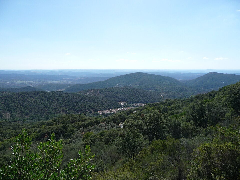
Near Aroche the setting is broad and pastoral. Towards Cortegana and Galaroza the road becomes more closely fitted to the hills; around Aracena, chestnut and oak country frames a castle town above the surrounding ridges.
Aroche countryside
Oak pasture and low hills establish the western approach along the N-433 corridor.
Cortegana to Galaroza
The main road follows more varied relief, with town approaches for separate stops.
Aracena arrival
Finish at the service town below its castle hill, continuing the visit on foot.
Road conditions & preparation
Spain’s tourism office identifies spring and autumn for regional motorcycle touring. Check DGT incidents and weather before departure. Shade can conceal damp leaves; allow for rural junctions and weekend traffic. Park outside narrow historic streets for visits on foot.
Mountain landscapes
Photographs identify their actual location, author and licence. Viewpoints away from the riding corridor are stated in the captions; photographs are not verified ride records.
This file is a work by El Pantera. Please, credit this: El Pantera I would appreciate being notified (elpanteradejerez@gmail.com) if you use my work outside Wikimedia More of my work can be found in my personal gallery · CC BY-SA 4.0 · Thumbnail / display crop · Licence
Basotxerri · CC BY-SA 4.0 · Thumbnail / display crop · Licence
Ricoleta · CC BY-SA 4.0 · Thumbnail / display crop · Licence
Sources & provenance
Summarised from public sources. A historic tourism plan describes a corridor, not current road access. Track authors retain ownership of their files.