The road & its landscape
The Susten road runs from a confined eastern valley into a broad Alpine basin and the Gadmen valley.
Planning corridor: Wassen → Susten Pass → Gadmen → Innertkirchen.
Why ride here
The Susten road runs from a confined eastern valley into a broad Alpine basin and the Gadmen valley.
Scenery along the road
The Susten crossing begins with the tighter valley, tunnels and wooded slopes above Wassen. The upper bends open onto the Meiental basin before the short pass tunnel. On the west side, glacial landforms give the descent towards Gadmen a broader scale; glacier walks are separate excursions.
Wassen and Meien
Gorges, tunnels and wooded slopes introduce the road before the high peaks become the main backdrop.
Susten summit tunnel
Upper bends open across the Meien basin before the short tunnel crosses the divide.
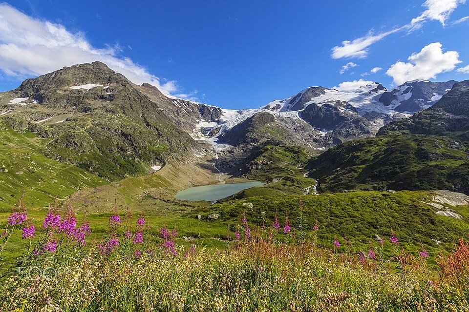
Steingletscher and Gadmen
The western descent reveals glacier country; glacier trails require parking and a separate walk.
Roads from above
Look at the bends, road surface and landscape beside the carriageway. Each caption identifies the location; other roads in the range are marked separately.
Zairon · CC BY-SA 4.0 · Thumbnail / display crop · Licence
Roland Zumbühl (Picswiss), Arlesheim (Commons:Picswiss project) · CC BY-SA 3.0 · Thumbnail / display crop · Licence
Roland Zumbühl (Picswiss), Arlesheim (Commons:Picswiss project) · CC BY-SA 3.0 · Thumbnail / display crop · Licence
Road conditions & preparation
Check the road operator for snow closures and restrictions before departure.
Mountain landscapes
Photographs identify their actual location, author and licence. Viewpoints away from the riding corridor are stated in the captions; photographs are not verified ride records.
Marina Felder · CC BY 3.0 · Thumbnail / display crop · Licence
Uwelino · CC BY-SA 4.0 · Thumbnail / display crop · Licence
Balise42 · CC BY-SA 4.0 · Thumbnail / display crop · Licence
Sources & provenance
Summarised from public sources. A historic tourism plan describes a corridor, not current road access. Track authors retain ownership of their files.