The road & its landscape
The Pontic corridor links the humid Black Sea side with higher mountain ground and the inland valley.
Planning corridor: Trabzon → Maçka → Zigana → Torul.
Why ride here
The Pontic corridor links the humid Black Sea side with higher mountain ground and the inland valley.
Scenery along the road
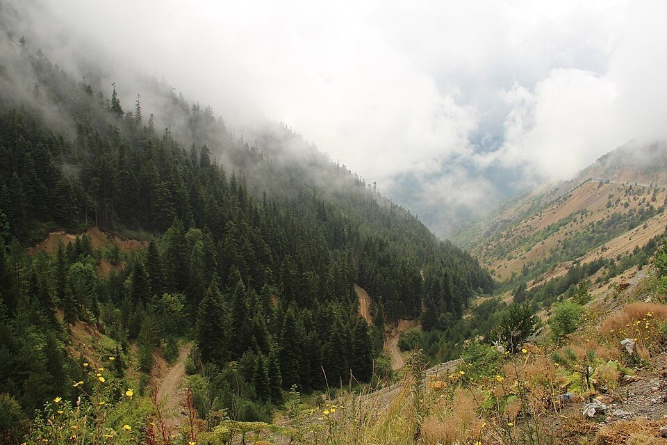
The Maçka approach follows a green, wooded valley before the Zigana area brings higher mountain terrain into view. The old surface pass and modern through tunnel offer different journeys. Descending towards Torul returns the scene to a more enclosed river valley between rock slopes.
Maçka
The lower approach follows a green valley beneath wooded mountain slopes.
Zigana
The old pass landscape and the modern through tunnel offer different views; check which road your plan uses.
Torul
The inland valley gives a more enclosed river-and-rock setting after the high crossing.
Roads from above
Look at the bends, road surface and landscape beside the carriageway. Each caption identifies the location; other roads in the range are marked separately.
Other roads in this range
Captions distinguish other roads in the same mountain area and historical views from this planning corridor. Photographs do not establish current vehicle access.
Elelicht · CC BY-SA 3.0 · Thumbnail / display crop · Licence
Road conditions & preparation
Check the road operator for snow closures and restrictions before departure.
Mountain landscapes
Photographs identify their actual location, author and licence. Viewpoints away from the riding corridor are stated in the captions; photographs are not verified ride records.
Hamdigumus · CC0 · Thumbnail / display crop · Licence
Hamdigumus · CC0 · Thumbnail / display crop · Licence
Sinan Şahin · CC BY 3.0 · Thumbnail / display crop · Licence
Sources & provenance
Summarised from public sources. A historic tourism plan describes a corridor, not current road access. Track authors retain ownership of their files.