The road & its landscape
The Taurus approach crosses from Mediterranean foothills towards the drier inland plateau.
Planning corridor: Antalya → Akseki → Seydişehir · D695 corridor.
Why ride here
The Taurus approach crosses from Mediterranean foothills towards the drier inland plateau.
Scenery along the road
The Taurus crossing rises from Mediterranean foothill vegetation towards the wooded mountain settlements around Akseki. Beyond the higher divide, the Seydişehir side opens towards drier inland terrain. Modern tunnels and old pass roads can produce different scenery and must be distinguished when choosing the line.
Antalya foothills
The lower landscape combines Mediterranean vegetation with the rising mountain wall.
Akseki
Mountain settlements and wooded slopes give the central corridor its closer detail.
Seydişehir side
The road emerges towards more open inland country; new tunnels and old pass branches must be distinguished.
Road conditions & preparation
Check the road operator for snow closures and restrictions before departure.
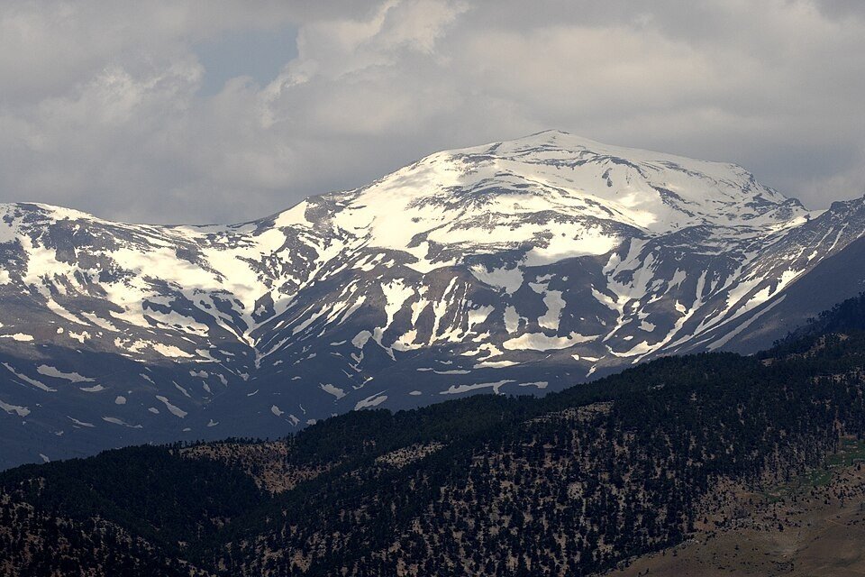
Mountain landscapes
Photographs identify their actual location, author and licence. Viewpoints away from the riding corridor are stated in the captions; photographs are not verified ride records.
Zeynel Cebeci · CC BY-SA 4.0 · Thumbnail / display crop · Licence
Zeynel Cebeci · CC BY-SA 4.0 · Thumbnail / display crop · Licence
Zeynel Cebeci · CC BY-SA 4.0 · Thumbnail / display crop · Licence
Sources & provenance
Summarised from public sources. A historic tourism plan describes a corridor, not current road access. Track authors retain ownership of their files.