The road & its landscape
The Šar mountain approach climbs from the Tetovo plain into a high resort landscape.
Planning corridor: Tetovo → Popova Šapka.
Why ride here
The Šar mountain approach climbs from the Tetovo plain into a high resort landscape.
Scenery along the road
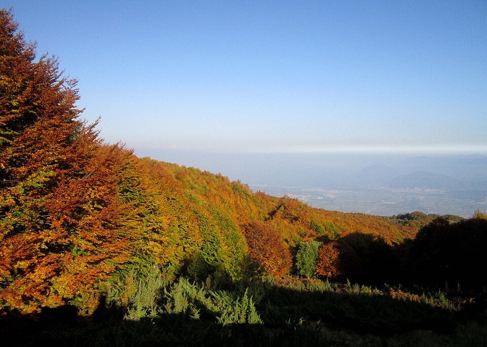
The climb from Tetovo makes the contrast between the low plain and the Šar slopes immediately visible. Forest and hillside settlements accompany the ascent before opening into the upper resort area at Popova Šapka. Higher mountain trails are distinct from the road used to reach the resort.
Tetovo
The city lies below the mountain wall, making the change in elevation clear from the outset.
Forest ascent
The road gains height through wooded slopes and settlements.
Popova Šapka
Open upper slopes replace the forest; higher park trails are separate from the approach road.
Road conditions & preparation
Check the road operator for snow closures and restrictions before departure.
Mountain landscapes
Photographs identify their actual location, author and licence. Viewpoints away from the riding corridor are stated in the captions; photographs are not verified ride records.
Makedonski biseri · CC BY-SA 3.0 · Thumbnail / display crop · Licence
kallerna · CC BY-SA 4.0 · Thumbnail / display crop · Licence
Makedonski biseri · CC BY-SA 3.0 · Thumbnail / display crop · Licence
Sources & provenance
Summarised from public sources. A historic tourism plan describes a corridor, not current road access. Track authors retain ownership of their files.