The road & its landscape
A small upland road threads wooded valleys and open Welsh hills rather than a fast through route.
Planning corridor: Abergwesyn → Abergwesyn Pass → Tregaron.
Why ride here
A small upland road threads wooded valleys and open Welsh hills rather than a fast through route.
Scenery along the road
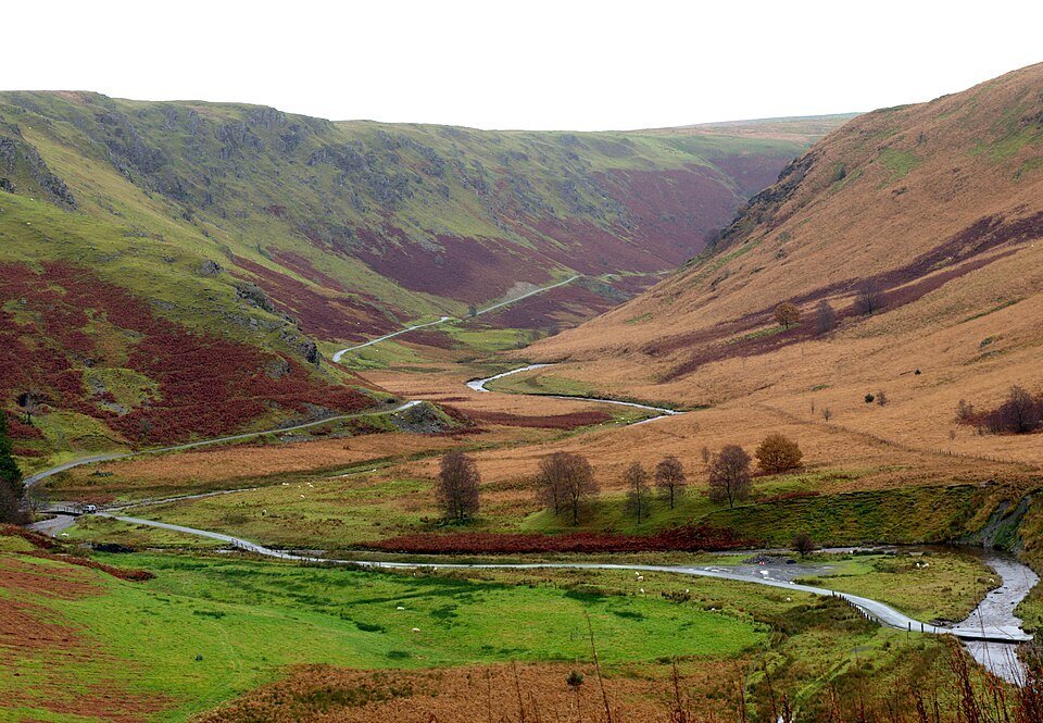
The Abergwesyn approach begins in a more sheltered wooded valley before the steep bends of the Devil’s Staircase open onto moorland slopes. The road has the intimate scale of a small upland lane. Descending towards Tregaron brings pasture and settlement back into the foreground.
Abergwesyn valley
Trees and stream-side ground make the early section feel sheltered.
Abergwesyn Pass
Steep bends lead into open moorland, exposing the shape of the hills.
Tregaron approach
Pasture and settlements return as the road drops out of the uplands.
Road conditions & preparation
Check the road operator for snow closures and restrictions before departure.
Mountain landscapes
Photographs identify their actual location, author and licence. Viewpoints away from the riding corridor are stated in the captions; photographs are not verified ride records.
Our retreat · CC BY-SA 4.0 · Thumbnail / display crop · Licence
Roger D Kidd · CC BY-SA 2.0 · Thumbnail / display crop · Licence
Gordon Hatton · CC BY-SA 2.0 · Thumbnail / display crop · Licence
Sources & provenance
Summarised from public sources. A historic tourism plan describes a corridor, not current road access. Track authors retain ownership of their files.