The road & its landscape
The A82 sequence moves from open moor to a steep-sided glen and finally a sea-loch setting.
Planning corridor: Crianlarich → Rannoch Moor → Glencoe → Fort William · A82.
Why ride here
The A82 sequence moves from open moor to a steep-sided glen and finally a sea-loch setting.
Scenery along the road
The A82 moves from Rannoch Moor’s distant mountain horizon into Glencoe’s close rock walls. The scale changes sharply as the Three Sisters rise above the valley. Beyond the glen, the road descends towards settled low ground near Fort William; use established stopping areas for the mountain views.
Rannoch Moor
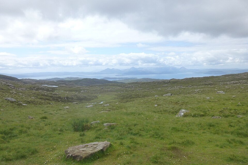
Low water and moorland spread beside the road, leaving mountains on the horizon.
Glencoe
Rocky slopes close around the road; use established car parks for views of the Three Sisters.
Fort William approach
The route returns to lower ground and loch-side settlements beneath the Highland mountains.
Roads from above
Look at the bends, road surface and landscape beside the carriageway. Each caption identifies the location; other roads in the range are marked separately.
Other roads in this range
Some photographs show other roads, visitor access or historical alignments in this mountain region. Their captions identify the difference from this chapter’s main corridor; vehicle access is not inferred from the image.
James Allan · CC BY-SA 2.0 · Thumbnail / display crop · Licence
Nigel Brown · CC BY-SA 2.0 · Thumbnail / display crop · Licence
Stuart MacInnes · CC BY-SA 2.0 · Thumbnail / display crop · Licence
Road conditions & preparation
Check the road operator for snow closures and restrictions before departure.
Mountain landscapes
Photographs identify their actual location, author and licence. Viewpoints away from the riding corridor are stated in the captions; photographs are not verified ride records.
JarroNevsbaru · CC BY 4.0 · Thumbnail / display crop · Licence
Ellievking1 · CC BY-SA 4.0 · Thumbnail / display crop · Licence
JarroNevsbaru · CC BY 4.0 · Thumbnail / display crop · Licence
Sources & provenance
Summarised from public sources. A historic tourism plan describes a corridor, not current road access. Track authors retain ownership of their files.