The road & its landscape
NY-73, the High Peaks Scenic Byway, gives a road-level passage through the Adirondack High Peaks. It follows settled valleys and mountain passes rather than attempting to reach wilderness summits by motorcycle.
The selected road is the approximately 30-mile NY-73 byway. Summit walks, private reserve access and the separate Whiteface toll road are not included.
Scenery along the road
Chapel Pond and the slopes near Keene Valley give the eastern section a close rock-and-forest setting. Beyond Keene the road rises towards the Cascade Lakes, where steep mountain sides flank the water before the descent to Lake Placid.
Chapel Pond and Keene Valley
Rock faces and forest frame the road before the valley villages.
Keene to Cascade Lakes
The climb trades the broad village valley for a tighter mountain corridor.
Cascade Pass to Lake Placid
Water and wooded slopes give way to the service town at the northern end.
Road conditions & preparation
Use NY 511 for work zones and weather. Popular hiking access points create pedestrians and turning traffic. Observe signed parking bans: an inviting trailhead shoulder is not necessarily a legal stopping place. Expect cold mornings outside summer.
Mountain landscapes
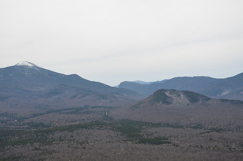
Photographs identify their actual location, author and licence. Viewpoints away from the riding corridor are stated in the captions; photographs are not verified ride records.
C M Volkovitsch · CC BY 4.0 · Thumbnail / display crop · Licence
daveynin · CC BY 2.0 · Thumbnail / display crop · Licence
Internetjessy · CC0 · Thumbnail / display crop · Licence
Sources & provenance
Summarised from public sources. A historic tourism plan describes a corridor, not current road access. Track authors retain ownership of their files.