The road & its landscape
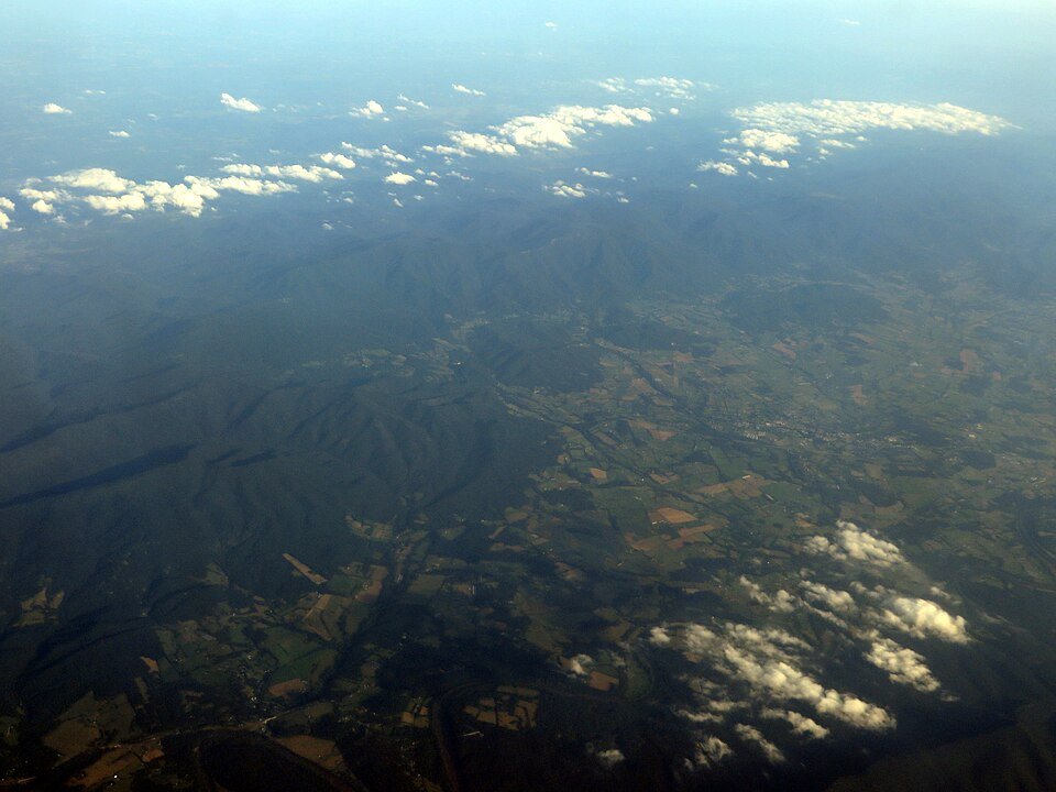
The Virginia section of the Blue Ridge Parkway follows wooded ridges and slopes, repeatedly opening onto layered Appalachian hills. It offers a slower mountain-road rhythm than a through highway.
This is a Virginia corridor example, not a claim that the entire parkway is open. Follow official detours around closed sections; do not enter gated pavement.
Scenery along the road
Near Rockfish Gap the road begins among ridges and forest. The James River section lowers the viewpoint before the climb towards Peaks of Otter restores the mountain foreground. Small overlooks create pauses between the wooded stretches.
Rockfish Gap and Humpback Rocks
Forest and layered ridges frame the early road. Rock viewpoints may require walking after parking.
James River crossing area
The route drops towards a river valley; construction and bridge detours need a separate road-status check.
Peaks of Otter approach
Wooded slopes rise around the road again, with mountain shapes visible from signed overlooks.
Roads from above
Look at the bends, road surface and landscape beside the carriageway. Each caption identifies the location; other roads in the range are marked separately.
Other roads in this range
Some images show historic alignments or other roads within this mountain range. Captions identify them separately from the main riding corridor; none establishes current access.
Dlthewave · CC BY-SA 4.0 · Thumbnail / display crop · Licence
Road conditions & preparation
Check the NPS closure chart by milepost, not just the name Blue Ridge Parkway. On 26 October 2026 the chart still identified a bridge-rehabilitation closure near the James River and signed detours. NPS also flags tightening curves, narrow shoulders and debris for motorcyclists.
Mountain landscapes
Photographs identify their actual location, author and licence. Viewpoints away from the riding corridor are stated in the captions; photographs are not verified ride records.
Ken Lund from Reno, Nevada, USA · CC BY-SA 2.0 · Thumbnail / display crop · Licence
Famartin · CC BY-SA 4.0 · Thumbnail / display crop · Licence
Donnie Nunley · CC BY 3.0 · Thumbnail / display crop · Licence
Sources & provenance
Summarised from public sources. A historic tourism plan describes a corridor, not current road access. Track authors retain ownership of their files.