The road & its landscape
US-12 links river canyons to Lolo Pass across the Bitterroot Mountains. The selected section of the Northwest Passage Scenic Byway is a paved two-lane route; Idaho Tourism explicitly lists the byway as a motorcycle route.
The misleadingly named Lolo Motorway, Forest Road 500, is a separate rough, narrow primitive road. This chapter follows US-12 and does not extend motorcycle access onto the historic Lolo Trail or wilderness paths.
Scenery along the road
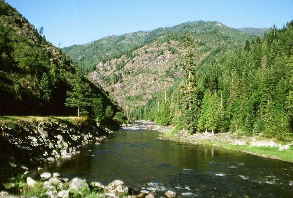
The western section follows water around closely folded, forested slopes. The Lochsa valley sustains that enclosed rhythm before the road climbs through Powell towards the pass. Beyond the state line, Lolo Creek leads back towards a wider inhabited valley.
Lowell river junction
Follow US-12 into the Lochsa valley, keeping the water and forested walls as the main landmarks.
Powell approach
The long river-road sequence becomes a higher forest climb towards the state boundary.
Lolo Pass to Lolo Creek
Use the visitor-centre parking for the pass, then descend on the paved highway.
Road conditions & preparation
Check Idaho 511 and Montana 511 for weather, work zones and fire closures. Snow can affect the pass while black ice remains in shaded canyon bends. Plan fuel at the main towns and confirm smaller services; do not rely on mobile coverage between Kooskia and Lolo. Leave room for trucks and use marked turnouts.
Mountain landscapes
Photographs identify their actual location, author and licence. Viewpoints away from the riding corridor are stated in the captions; photographs are not verified ride records.
The original uploader was Robbiegiles at English Wikipedia. · CC BY 2.5 · Thumbnail / display crop · Licence
Robert Ashworth from Bellingham, WA., USA · CC BY 2.0 · Thumbnail / display crop · Licence
Forest Service Northern Region from Missoula, MT, USA · CC BY 2.0 · Thumbnail / display crop · Licence
Sources & provenance
- NPS: Lolo Trail and Pass road distinctions ↗
- Visit Idaho: Northwest Passage motorcycle route ↗
- Idaho 511 ↗
- Montana 511 ↗
Summarised from public sources. A historic tourism plan describes a corridor, not current road access. Track authors retain ownership of their files.