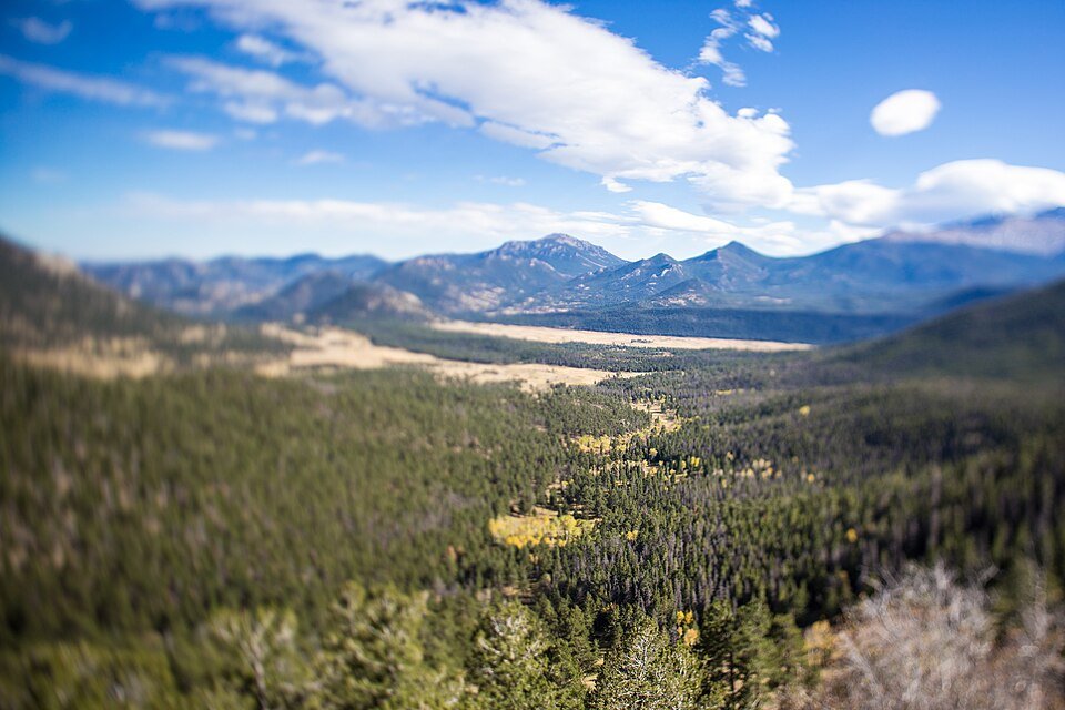
The road & its landscape
Trail Ridge Road crosses Rocky Mountain National Park on US-34, climbing from wooded valleys onto exposed alpine ground. This Front Range chapter follows the paved through road between Estes Park and Grand Lake, rather than the park’s separate dirt-road ascent.
Old Fall River Road is a different, unpaved one-way ascent and is excluded. The NPS page consulted for this batch lists that road closed to vehicles for the season; the closure is not a statement about US-34. No park walking trail is included in the motor route.
Scenery along the road
From the eastern approach, bends open successive views across forested slopes. Around Rock Cut, trees give way to alpine tundra and the road occupies a broad, windy skyline. The western half drops through Milner Pass into a different watershed and eventually returns to lower forest near Grand Lake.
Eastern forest climb
Many Parks Curve marks the change from valley access to increasingly open high slopes.
Rock Cut and alpine section
Tundra, bare rock and long horizons define the exposed upper road.
Milner Pass and west descent
Descend through the divide and forest towards Grand Lake rather than stopping on the carriageway.
Roads from above
Look at the bends, road surface and landscape beside the carriageway. Each caption identifies the location; other roads in the range are marked separately.
Brian Zinnel · CC BY-SA 4.0 · Thumbnail / display crop · Licence
Munford · CC BY 3.0 · Thumbnail / display crop · Licence
Road conditions & preparation
Treat this as a seasonal ride. Check the NPS road-status page immediately before departure: snow, ice or strong winds can interrupt through travel even within the nominal season. Check the current year’s timed-entry arrangements and motorcycle entrance fee separately. Use official overlooks and carry warm layers.
Mountain landscapes
Photographs identify their actual location, author and licence. Viewpoints away from the riding corridor are stated in the captions; photographs are not verified ride records.
Anne Dirkse · CC BY-SA 4.0 · Thumbnail / display crop · Licence
Brian Zinnel · CC BY-SA 4.0 · Thumbnail / display crop · Licence
Nan Palmero from San Antonio, TX, USA · CC BY 2.0 · Thumbnail / display crop · Licence
Sources & provenance
Summarised from public sources. A historic tourism plan describes a corridor, not current road access. Track authors retain ownership of their files.