The road & its landscape
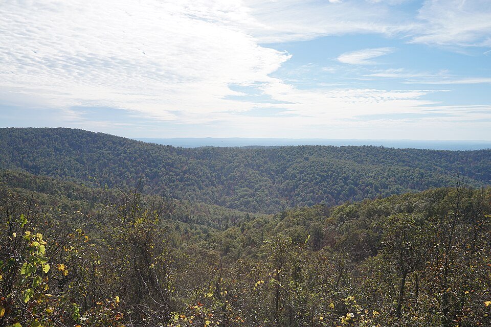
Talimena Scenic Drive follows forested Ouachita ridges between Oklahoma and Arkansas. The public-road crossing uses OK-1 and AR-88, with short roadside viewpoints opening above long folds of wooded hills.
The roughly 54-mile byway is the motor route. Hiking paths, forest tracks and off-highway recreation areas beside it have separate access rules.
Scenery along the road
Winding Stair Mountain introduces the ridge-top character from the west. The border section keeps the road above parallel valleys; around Rich Mountain, viewpoints precede the descent into Mena. Autumn colour changes the canopy, while spring emphasises fresh woodland.
Winding Stair ridge
Leave the Talihina side for a rising road over forested ridge ground.
State-line panoramas
Use designated vistas for views across repeated parallel ridges.
Rich Mountain to Mena
The high eastern section descends towards the town and AR-88 services.
Roads from above
Look at the bends, road surface and landscape beside the carriageway. Each caption identifies the location; other roads in the range are marked separately.
Other roads in this range
Captions distinguish historic alignments and other roads within the range from the selected riding corridor. A photograph does not establish current access.
Michael Barera · CC BY-SA 4.0 · Thumbnail / display crop · Licence
Road conditions & preparation
The Forest Service lists the byway open year-round, but this is not a guarantee against ice or temporary closures. Check Oklahoma and Arkansas road reports and forest alerts. Carry water: the byway page does not list potable water. Fuel at either end.
Mountain landscapes
Photographs identify their actual location, author and licence. Viewpoints away from the riding corridor are stated in the captions; photographs are not verified ride records.
Michael Barera · CC BY-SA 4.0 · Thumbnail / display crop · Licence
Kyle Monahan · CC BY 2.0 · Thumbnail / display crop · Licence
MARELBU · CC BY 3.0 · Thumbnail / display crop · Licence
Sources & provenance
- US Forest Service: Talimena Scenic Byway ↗
- Travel Oklahoma: Talimena ↗
- Recreation.gov: AR-88 navigation ↗
Summarised from public sources. A historic tourism plan describes a corridor, not current road access. Track authors retain ownership of their files.