The road & its landscape
Tioga Road crosses Yosemite's high country between forest, pale granite and open subalpine ground. The east side of Tioga Pass then drops steeply towards Lee Vining.
Use the paved Tioga crossing when open. Overlook walks and backcountry trails are separate from the motor route; Glacier Point Road is another branch.
Scenery along the road
From Crane Flat the road first feels enclosed by trees. Around Olmsted Point granite opens the view; towards Tuolumne Meadows, broad ground and domes spread the mountain scene out. The eastern descent changes the viewpoint again, looking along a steeper mountain flank.
Crane Flat to Olmsted Point
The forested approach gives way to granite outcrops and wider openings. Stop only in signed parking areas.
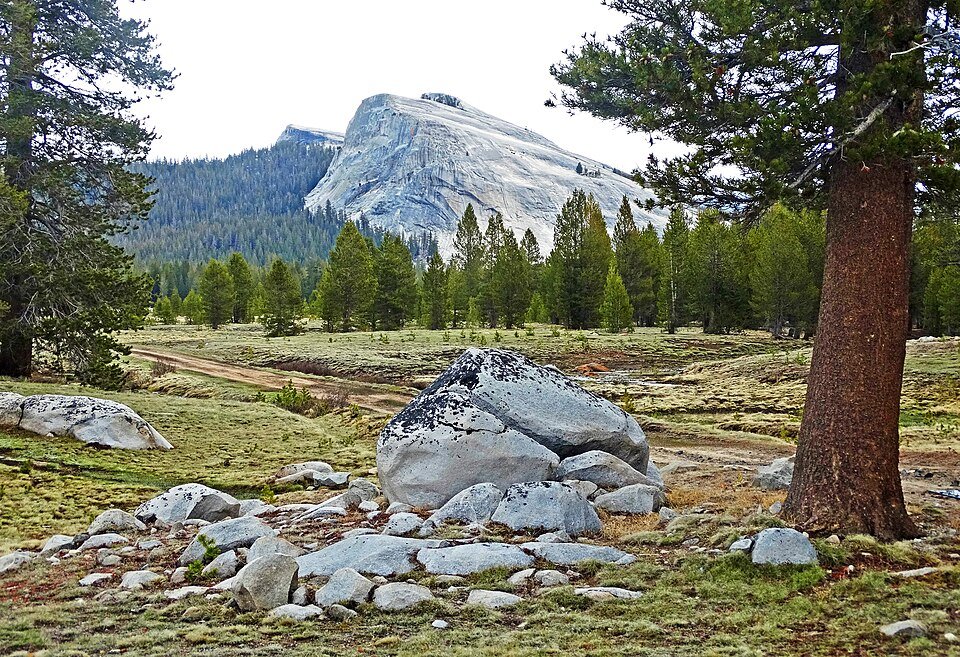
Tuolumne high country
Meadows, pale domes and distant peaks give the road a broad foreground. Walking viewpoints require a separate stop.
Tioga Pass to Lee Vining
Beyond the park's eastern entrance the road follows a steep mountainside, with long downhill views.
Road conditions & preparation
Check Tioga Road's seasonal status and Yosemite's current entry arrangements. NPS identifies the eastern CA-120 approach as steep and winding. Services on the high road are limited; do not rely on fuel being available at Tuolumne Meadows.
Mountain landscapes
Photographs identify their actual location, author and licence. Viewpoints away from the riding corridor are stated in the captions; photographs are not verified ride records.
inkknife_2000 (7.5 million views +) · CC BY-SA 2.0 · Thumbnail / display crop · Licence
inkknife_2000 (7.5 million views +) · CC BY-SA 2.0 · Thumbnail / display crop · Licence
inkknife_2000 (7.5 million views +) · CC BY-SA 2.0 · Thumbnail / display crop · Licence
Sources & provenance
- NPS: Tuolumne Meadows and Tioga Road ↗
- NPS: vehicle restrictions and seasonal roads ↗
- NPS: Tioga road opening updates ↗
Summarised from public sources. A historic tourism plan describes a corridor, not current road access. Track authors retain ownership of their files.