The road & its landscape
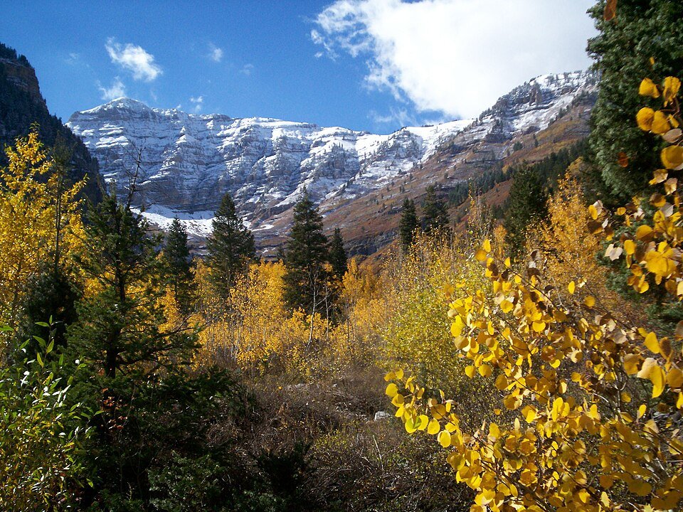
Utah’s Alpine Loop is a seasonal paved crossing below Mount Timpanogos in the Wasatch Range. SR-92 links American Fork and Provo canyons through tight bends, limestone mountain scenery and aspen woodland.
This is Utah SR-92 in the Wasatch, not Colorado’s unpaved Alpine Loop or Utah’s Mirror Lake Highway in the Uinta Mountains.
Scenery along the road
The western approach climbs inside a rock-walled canyon. Higher ground shifts towards aspen groves and views of Timpanogos; the eastern descent passes Aspen Grove and Sundance before meeting the larger Provo Canyon road.
American Fork Canyon
Climb below limestone walls on a narrow shared road.
High Alpine Loop
Aspens and the Timpanogos backdrop define the seasonal upper crossing.
Aspen Grove to Provo Canyon
Descend past Sundance to the SR-92 junction with US-189.
Road conditions & preparation
UDOT identifies long sections without a centre line and numerous blind bends. Check seasonal gates before departure; winter closure normally affects the high section. Through-driving and recreation parking have different fee arrangements. Give cyclists and opposing traffic generous space.
Mountain landscapes
Photographs identify their actual location, author and licence. Viewpoints away from the riding corridor are stated in the captions; photographs are not verified ride records.
Staplegunther at en.wikipedia · CC BY-SA 3.0 · Thumbnail / display crop · Licence
David Jolley (talk · contribs) · CC BY-SA 3.0 · Thumbnail / display crop · Licence
Paytonpingree · CC BY-SA 4.0 · Thumbnail / display crop · Licence
Sources & provenance
- UDOT: driving the Alpine Loop, September 2026 ↗
- UDOT: seasonal and avalanche closures ↗
- Visit Utah: motorcycle itinerary ↗
Summarised from public sources. A historic tourism plan describes a corridor, not current road access. Track authors retain ownership of their files.