The road & its landscape
The Bayan Har road direction from Madoi towards Yushu crosses the setting of Qinghai’s great river headwaters. Rolling high ground, grassland and wetland country give the mountain a different character from a sharp cliff corridor. The road supplies a clear foreground through a wide, layered landscape.
Road corridor: Madoi → Bayan Har Pass → Qingshuihe → Yushu · G214.
Why ride here
The Bayan Har road direction from Madoi towards Yushu crosses the setting of Qinghai’s great river headwaters.
Scenery along the road
Bayan Har is described in provincial geography as a watershed with gently shaped mountain ground, wetlands and lakes in its wider setting. Read the road through those changing textures: lower wet ground, higher grass-covered slopes and the farther ridge line. Headwater lake visits are separate from the public-road journey.
Madoi highland approach
The Madoi end introduces a broad headwater-region setting before the mountain crossing. Rather than a tightly enclosed valley, the foreground is high ground with room for long views. Grassland and lower wetter areas add texture within the larger form of the surrounding mountains.
Bayan Har watershed road
The mountain chapter is shaped by a watershed rather than a single summit view. The regional geography describes rolling mountain forms, and the road gives a changing perspective across their slopes. Nearer ground rises into successive layers, with the ridge line marking the transition between river systems.
Qingshuihe towards Yushu and Batang grassland
Towards Yushu, the G214 landscape continues through highland slopes and grassland. The transport authority describes the Batang section through meadow, river and lake surroundings. Grassland becomes the close texture, while water and the farther mountain rim add wider layers to the journey.
Roads from above
Look at the bends, road surface and landscape beside the carriageway. Each caption identifies the location; other roads in the range are marked separately.
Other roads in this range
Captions distinguish regional roads and historical views from the planning corridor. Photographs do not establish current vehicle access.
Gruschke · CC BY-SA 3.0 · Thumbnail / display crop · Licence
Road conditions & preparation
Build the route in stages around altitude, weather, fuel and accommodation. Check current road notices and the transport arrangements at each scenic-area entrance before choosing the riding line. Keep the journey on current authorised public roads. Headwater lakes, wetlands and protected-area interiors have their own access boundaries.
Mountain landscapes
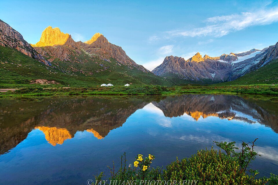
Photographs identify their actual location, author and licence. Viewpoints away from the riding corridor are stated in the captions; photographs are not verified ride records.
Jay Huang from Pleasanton, USA · CC BY 2.0 · Thumbnail / display crop · Licence
neverdance · CC BY-SA 3.0 · Thumbnail / display crop · Licence
neverdance · CC BY-SA 3.0 · Thumbnail / display crop · Licence
Sources & provenance
- Bayan Har: watershed, slopes, wetlands and lakes ↗
- Sanjiangyuan highland mountain context ↗
- Dege Government: G214 historic road corridor ↗
- Qinghai Transport: G214 Batang grassland ↗
Summarised from public sources. A historic tourism plan describes a corridor, not current road access. Track authors retain ownership of their files.