The road & its landscape
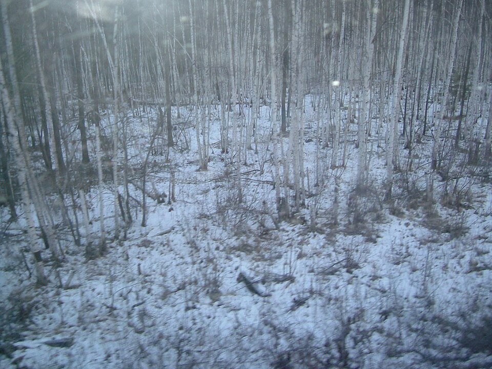
G111 from Jiagedaqi to Mohe runs through a forest region whose scenery is built from wooded hills, wetland openings and small towns. Around Xinlin and Tahe, the road connects inhabited clearings in the wider forest. Farther north, the A’mu’er and Tuqiang chapters introduce the water and woodland landscapes of the Mohe area.
Road corridor: Jiagedaqi → Xinlin → Tahe → Mohe.
Why ride here
G111 from Jiagedaqi to Mohe runs through a forest region whose scenery is built from wooded hills, wetland openings and small towns.
Scenery along the road
This is a forest-road journey, with changes in enclosure more important than one spectacular summit. Close trees give parts of the route a narrow visual frame; river and wetland openings provide relief. The official roadbook follows Jiagedaqi, Songling, Xinlin, Tahe, A’mu’er and Tuqiang to Mohe. Use town stops to see the landscape at a different scale. Elevated wetland panoramas, including the Tuqiang attraction, belong to their own viewing places rather than the entire road.
Jiagedaqi to Songling
The southern opening combines Jiagedaqi’s town edge with the forest and wetland country described in regional tourism sources. The road supplies continuity between these settings: buildings and clearings recede, wooded hills become the background, and wetter open ground offers a visual break from the surrounding tree cover.
Xinlin to Tahe forest towns
Xinlin and Tahe place small-town life inside the wider forest journey. Around Xinlin, the official tourism description includes wetland, nearby hills and forest-park surroundings. These town-side settings add water and buildings to the road’s repeated woodland frame, making a useful contrast with the stretches between settlements.
A’mu’er and Tuqiang towards Mohe
The northern chapter links forestry towns with the water-and-forest landscape around Mohe. Tuqiang’s wetland attraction offers a separate place to see winding water within the trees. Along the connecting roads, appreciate the lower roadside perspective first, then compare it with a permitted raised viewpoint if visiting the attraction.
Roads from above
Look at the bends, road surface and landscape beside the carriageway. Each caption identifies the location; other roads in the range are marked separately.
Other roads in this range
Captions distinguish regional roads and historical views from the planning corridor. Photographs do not establish current vehicle access.
Jackzhong · CC BY 3.0 · Thumbnail / display crop · Licence
Liuxingy · CC BY-SA 4.0 · Thumbnail / display crop · Licence
Liuxingy · CC BY-SA 4.0 · Thumbnail / display crop · Licence
Road conditions & preparation
Seasonal road changes and long gaps between towns are part of planning this chapter. Confirm current weather, fuel stops and overnight options against the exact roads you intend to use.
Mountain landscapes
Photographs identify their actual location, author and licence. Viewpoints away from the riding corridor are stated in the captions; photographs are not verified ride records.
Yoshi Canopus · CC BY-SA 4.0 · Thumbnail / display crop · Licence
Charlie fong · CC BY-SA 4.0 · Thumbnail / display crop · Licence
Heteroscedasticity · CC BY-SA 3.0 · Thumbnail / display crop · Licence
Sources & provenance
- Official geography / road information — Greater Khingan ↗
- Official Xing’an roadbook: G111 town sequence ↗
- Regional forest and wetland landscapes ↗
- Xinlin: wetlands and hills beside a self-drive base ↗
Summarised from public sources. A historic tourism plan describes a corridor, not current road access. Track authors retain ownership of their files.