The road & its landscape
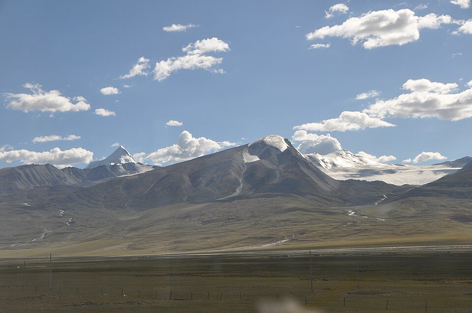
The road from Yangbajain towards Damxung follows a landscape of open plateau ground and the Nyenchen Tanglha mountain backdrop. The Namtso approach changes the composition again: the lake spreads across the foreground while the snow-bearing range gives the southern skyline its shape.
Road corridor: Yangbajain → Damxung → Nagen La / Namtso approach.
Why ride here
The road from Yangbajain towards Damxung follows a landscape of open plateau ground and the Nyenchen Tanglha mountain backdrop.
Scenery along the road
The appeal lies in how the same range changes its role. Beside G109, it forms a long background to the plateau journey; closer to the lake, it becomes one side of a broad mountain-and-water composition. Damxung’s settlement and wetland setting provide an intermediate scale.
Yangbajain plateau-road chapter
Around Yangbajain, the open plateau gives the mountain skyline a long visual reach. The region’s geothermal identity adds a different geographical theme to the journey. On the road, the main composition remains broad ground in front of the higher mountain backdrop.
Damxung and Lado grassland viewpoint
Along the Qinghai–Tibet road, the documented Black Tent viewpoint pairs the Nyenchen Tanglha range with Lado grassland. Pasture provides a broad foreground and the mountain ridge a continuous background. The road-level view makes the contrast between low open land and the high snowy skyline especially clear.
Nagen La towards Namtso
The Nagen La approach changes the chapter from mountain-front pasture to a pass-and-lake landscape. The higher viewpoint reveals the scale of Namtso, with Nyenchen Tanglha forming the southern mountain background. Water extends horizontally beneath the ridge, changing both the colour and the sense of distance.
Road conditions & preparation
Build the route in stages around altitude, weather, fuel and accommodation. Check current road notices and the transport arrangements at each scenic-area entrance before choosing the riding line. Namtso views belong to a separately managed scenic approach. Follow current visitor transport and lake-area access arrangements.
Mountain landscapes
Photographs identify their actual location, author and licence. Viewpoints away from the riding corridor are stated in the captions; photographs are not verified ride records.
Yoshi Canopus · CC BY-SA 3.0 · Thumbnail / display crop · Licence
钉钉 · CC BY-SA 4.0 · Thumbnail / display crop · Licence
McKay Savage from London, UK · CC BY 2.0 · Thumbnail / display crop · Licence
Sources & provenance
- Damxung: G109, Nyenchen Tanglha and wetlands ↗
- Nyenchen Tanglha and Yangbajain geography ↗
- Damxung: mountain, lake and road sequence ↗
- Xizang Tourism: northbound scenic stops ↗
- Xizang Tourism: Damxung–Namtso itinerary ↗
Summarised from public sources. A historic tourism plan describes a corridor, not current road access. Track authors retain ownership of their files.