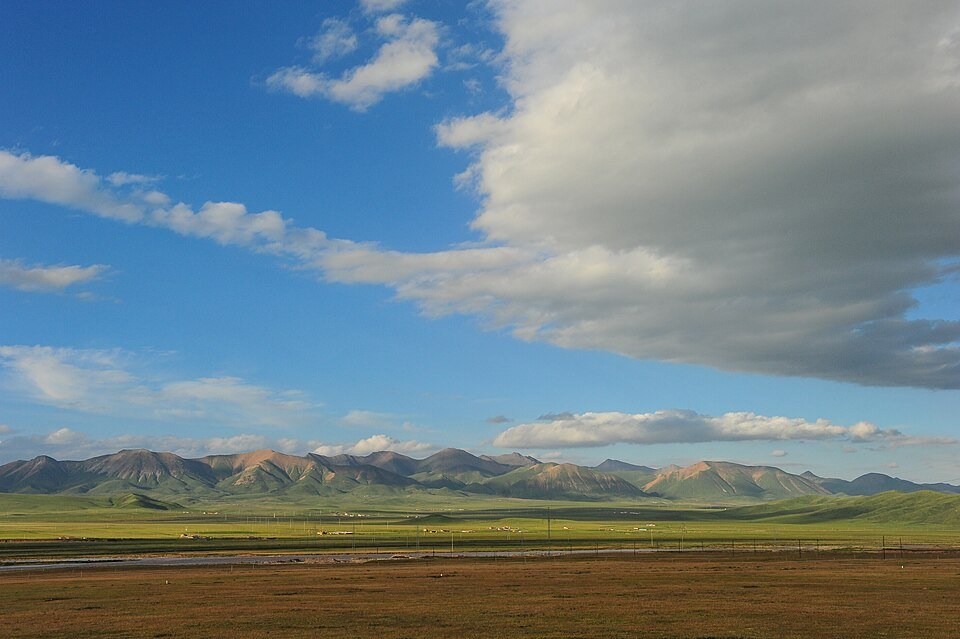
The road & its landscape
The Qilian road chapter moves from Menyuan’s cultivated basin into the grassland country around Ebao, then through the Biandukou gateway towards Minle. Fields, pasture and mountain walls give each section a different foreground. Seasonal flowers add colour, but the enduring attraction is the transition between basin, high valley and Hexi-side foothills.
Road corridor: Menyuan → Ebao → Biandukou → Minle · Qilian town as an optional branch.
Why ride here
The Qilian road chapter moves from Menyuan’s cultivated basin into the grassland country around Ebao, then through the Biandukou gateway towards Minle.
Scenery along the road
The ordinary-road corridor links a cultivated basin, broad pasture and a mountain gateway, giving each section its own visual scale. Menyuan gives wide field views framed by mountain country. Ebao introduces grassland slopes and a high-valley setting, with a branch towards Qilian town. Biandukou then acts as the mountain gateway on the Minle side. Flowering fields are seasonal, and the road chapters remain meaningful when the colour changes to harvested land or winter tones.
Menyuan basin road
Around Menyuan, cultivated land supplies the broad foreground beneath the mountains. Official reporting documents road cycling through the rapeseed-flower landscape, while geographical fieldwork identifies the basin setting. In season, yellow fields dominate; outside flowering time, the contrast between farmland and surrounding mountain slopes still defines the view.
Ebao high-valley grassland
Ebao introduces pasture in a high mountain valley, with broad slopes rather than the cultivated foreground of Menyuan. The road junction makes a useful place to understand the branch towards Qilian. Pasture supplies a broad foreground, the valley draws the eye onwards, and the distant ridges create a continuous frame around the road journey.
Biandukou towards Minle
Biandukou marks the mountain gateway towards Minle on the northern side. The landscape changes from the high-valley corridor to the farming country associated with the Hexi foothills. Seasonal rapeseed scenery is one layer of that change; the valley opening and the relation of fields to mountain slopes are the permanent structure.
Road conditions & preparation
Build the route in stages around altitude, weather, fuel and accommodation. Check current road notices and the transport arrangements at each scenic-area entrance before choosing the riding line. This chapter describes ordinary-road scenery. Check current construction and access notices for the Ebao–Biandukou section and your chosen route.
Mountain landscapes
Photographs identify their actual location, author and licence. Viewpoints away from the riding corridor are stated in the captions; photographs are not verified ride records.
Neil Young · CC BY-SA 2.0 · Thumbnail / display crop · Licence
Windmemories · CC BY-SA 4.0 · Thumbnail / display crop · Licence
29cm · CC BY-SA 2.0 · Thumbnail / display crop · Licence
Sources & provenance
- Official geography / road information — Qilian ↗
- Menyuan road-race landscape and rapeseed fields ↗
- Field geography: Menyuan, Ebao and Biandukou ↗
- Ebao grassland setting ↗
- Minle and the Biandukou gateway ↗
Summarised from public sources. A historic tourism plan describes a corridor, not current road access. Track authors retain ownership of their files.