The road & its landscape
The Qinghai–Tibet road between Tuotuohe and Amdo introduces Tanggula through river crossings, high mountain ground and a distant skyline. The scenery has a broad scale: the road and its buildings appear small against open terrain, while the river adds movement to the plateau setting.
Road corridor: Tuotuohe → Tanggula Pass → Amdo · G109.
Why ride here
The Qinghai–Tibet road between Tuotuohe and Amdo introduces Tanggula through river crossings, high mountain ground and a distant skyline.
Scenery along the road
The sequence begins with the Tuotuo River as a clear geographical landmark, then moves towards the high mountain corridor. Open ground gives the road a strong line through the scenery. Towards Amdo, inhabited roadside spaces provide relief from the long views of the plateau.
Tuotuo River road crossing
The Tuotuo River gives the road journey a visible connection to the Yangtze headwaters. Water cuts a moving element through the broad highland setting. Compare the river’s direction with the road line and the surrounding open ground to understand the scale of this landscape.
Tanggula mountain-road corridor
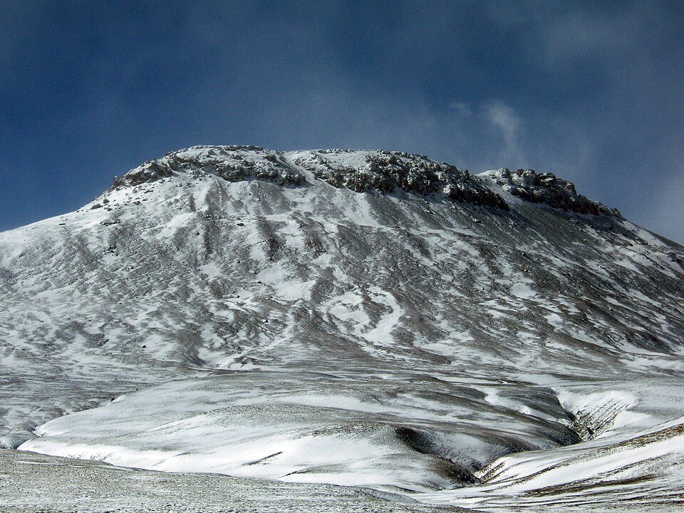
The mountain section places the road within a much larger highland form. Distant ridges, exposed ground and the broad sky keep the scene uncluttered. The carriageway becomes the foreground reference, helping the eye measure the distance between nearer slopes and the higher skyline.
High plateau towards Amdo
Towards Amdo, the road continues the broad plateau view while roadside settlements return a human scale to the foreground. The contrast is between long open sightlines and the concentrated presence of buildings, a quieter ending after the river and mountain chapters farther north.
Road conditions & preparation
Build the route in stages around altitude, weather, fuel and accommodation. Check current road notices and the transport arrangements at each scenic-area entrance before choosing the riding line.
Mountain landscapes
Photographs identify their actual location, author and licence. Viewpoints away from the riding corridor are stated in the captions; photographs are not verified ride records.
Fanghong · CC BY 2.5 · Thumbnail / display crop · Licence
saipal · CC BY 2.0 · Thumbnail / display crop · Licence
Matti&Keti · CC BY-SA 4.0 · Thumbnail / display crop · Licence
Sources & provenance
- Qinghai–Tibet highway: Tuotuo River and Tanggula crossings ↗
- Tanggula and the high-altitude headwaters landscape ↗
- Xizang Government: Tanggula highway ↗
- Sanjiangyuan National Park: Tanggula landscape ↗
Summarised from public sources. A historic tourism plan describes a corridor, not current road access. Track authors retain ownership of their files.